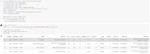
Upload 2021 Census Data "American Indian/Alaska Native/Native Hawaiian"
Below is a description of our method and some code chunks that we used to produce the habitat prediction model maps.
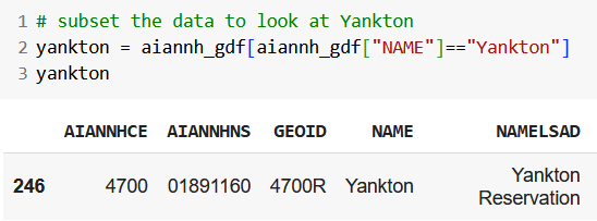
Now, we are speciically looking at the Yankton Sioux Tribe boundary data.
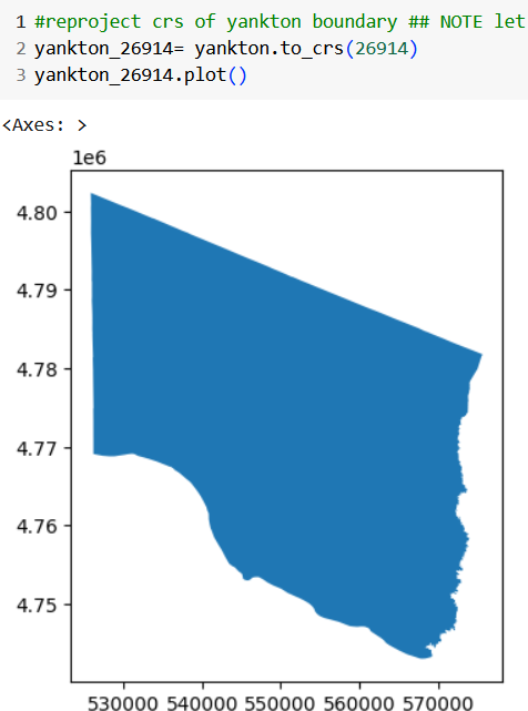
We want to plot the boundary data so we can see what it looks like. Next, we want to change the CRS to 26914. CRS is used to describe geographic data in Geographic Information System (GIS). The number 26914 refers to a specific CRS which covers the central part of North America from Canada to Texas.
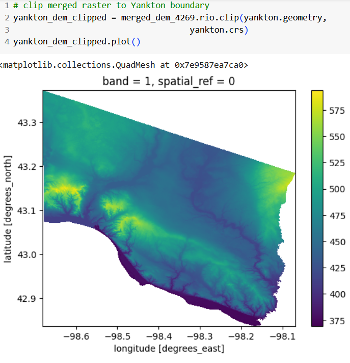
Now, we are going to add the DEM to the boundary.

slope data layer
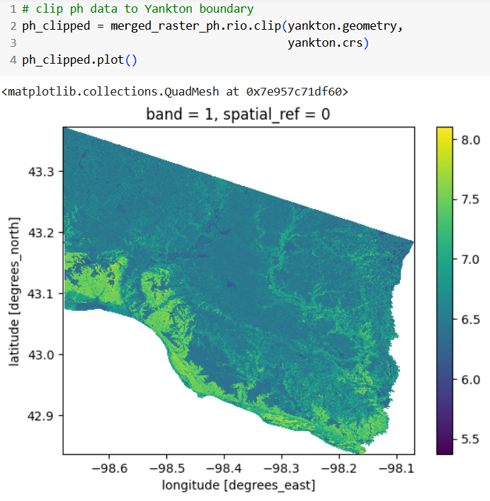
pH data layer.
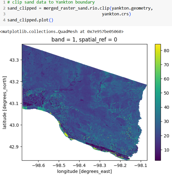
sand data layer
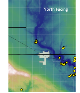
final map.